
China helps Pak launch satellite: Third such mission this year – what is remote sensing satellite?
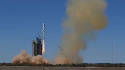

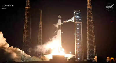
China successfully launched a Pakistani remote sensing satellite into orbit on Sunday, accompanied by two of its own satellites, underscoring the deepening space collaboration between the two long-time allies.A Lijian-1 Y8 carrier rocket carrying three satellites—the Pakistan Remote Sensing Satellite (PRSS-2) and China’s AIRSAT 03 and 04—was launched from a commercial aerospace innovation pilot zone in northwest China. The launch successfully placed all three satellites into their planned orbits, according to state-run Xinhua news agency.
What is a remote sensing satellite?
A remote sensing satellite is equipped with specialised sensors and cameras that observe and measure the physical characteristics of the Earth or other areas from space. It collects data on things like forest fires, temperature changes in oceans, cloud patterns, volcanic activity, urban growth, farmland changes, and the topography of the ocean floor. This helps scientists and researchers monitor large-scale environmental and geographic changes over time, according to USGS.This mission marks the third Pakistani satellite China has helped launch this year, following PRSS-1 in July and PRSC-EO1 in January.In recent years, China has played a key role in expanding Pakistan’s space capabilities, including the launch of a multi-mission communication satellite last year.Back in 2018, China also deployed two Pakistani satellites: PRSS-1, Pakistan’s first optical remote sensing satellite, and PakTES-1A, a smaller observation satellite.