AI on the streets: US cities turn to AI for safer streets; new tools track hazards in real time

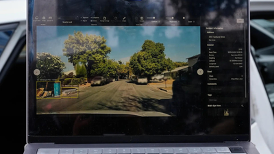
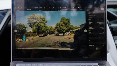
America’s ageing and under-maintained roads are pushing cities and states to adopt artificial intelligence tools that can spot hazards, flag repairs and prioritise fixes in real time — a shift gaining pace amid rising traffic deaths and stretched public works budgets.From Hawaii and Texas to San Jose, local governments are deploying AI-powered dashcams, vehicle-mounted cameras and mobile-based analytics to detect potholes, damaged guardrails, obscured signs and risky driving patterns, replacing manual inspections that can take months, according to AP.AI dashcams for HawaiiHawaii is giving away 1,000 AI-enabled dashboard cameras under its “Eyes on the Road” initiative, aimed at reversing a jump in traffic deaths. The technology automatically identifies damaged guardrails, missing road signs and worn-out pavement markings, triggering alerts for crews to respond.“This is not something where it’s looked at once a month and then they sit down and figure out where they’re going to put their vans,” said Richard Browning of Nextbase, which developed the system, quoted AP.Roger Chen of the University of Hawaii, who is helping run the programme, said the state’s geography and older infrastructure make maintenance far more challenging. “Equipment has to be shipped to the island… it’s not an easy problem,” he said.Guardrail failures have been a concern for Hawaii. The state last year settled a $3.9 million lawsuit after a driver died in 2020 when his vehicle hit a guardrail that had remained unrepaired for 18 months.By October, Hawaii had recorded its 106th traffic fatality of 2025 — already above the previous year’s total.Street sweeper cameras in San JoseSan Jose is expanding its pilot that uses cameras mounted on street sweepers and parking enforcement vehicles. City staff say the system correctly identified potholes 97% of the time.Mayor Matt Mahan said the project’s success depends on cities contributing data to a shared repository. “We could wait five years for that to happen here, or maybe we have it at our fingertips,” he said.San Jose helped create the GovAI Coalition, launched publicly in 2024, with members from California, Minnesota, Oregon, Texas, Washington and the state of Colorado.Texas scans 250,000 lane milesTexas, which has more roadway miles than the next two US states combined, is using AI tools to assess street signs, analyse congestion and scan its network.Jim Markham of the Texas Department of Transportation said AI helped flag outdated signs across 250,000 lane miles. “Having AI that can go through and screen for that is a force multiplier,” he said.The state is also using systems like StreetVision, a mobile-based tool that identifies dangerous driving patterns. In one case, data flagged sudden braking on a Washington, D.C. roadway — caused by a bush blocking a stop sign.“That brought me to an infrastructure problem, and the solution… was a pair of garden shears,” said Ryan McMahon of Cambridge Mobile Telematics.Building for autonomous vehiclesExperts say these developments are early steps towards preparing infrastructure for a future where human-driven and autonomous vehicles share the road.Mark Pittman, CEO of Blyncsy, which works on the Hawaii dashcam programme, said most new vehicles will soon come with built-in cameras. “They’re now building infrastructure for humans and automated drivers alike, and they need to start bridging that divide,” he said.


