NASA-ISRO’s NISAR sends first radar images of Earth’s surface; reveals exceptional details of land, forests and agriculture |
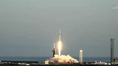
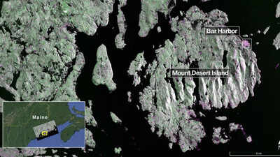
NASA and ISRO have released the first radar images captured by their joint Earth-observing satellite, NISAR (NASA-ISRO Synthetic Aperture Radar). Launched on July 30, 2025, the satellite carries advanced L-band and S-band radar systems, designed to provide unprecedented insight into Earth’s dynamic surface. The initial images, captured in August, reveal remarkable detail, from dense forests…


